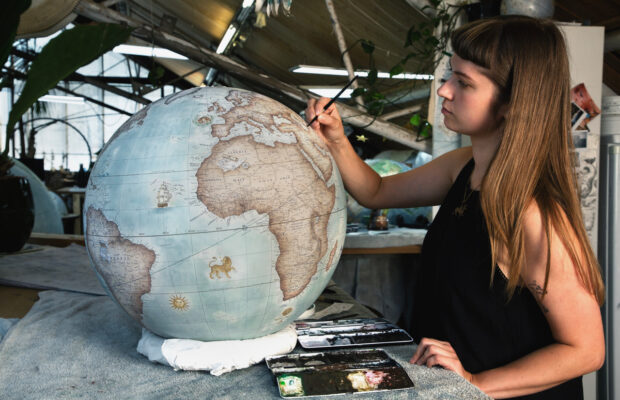
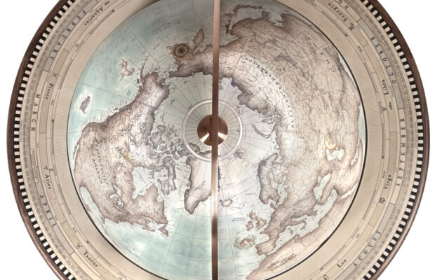
Mars was mapped through a combination of telescopic hand-drawings, early spacecraft flybys, and modern orbiting laser-altimetry and digital imaging. Before it was mapped, Mars was being observed across cultures and throughout history
The ancient Sumerians named Mars Nergal, the god of war and plague. During Sumerian times, Nergal was a minor deity of little significance, but, during later times, his main cult center was the city of Nineveh.
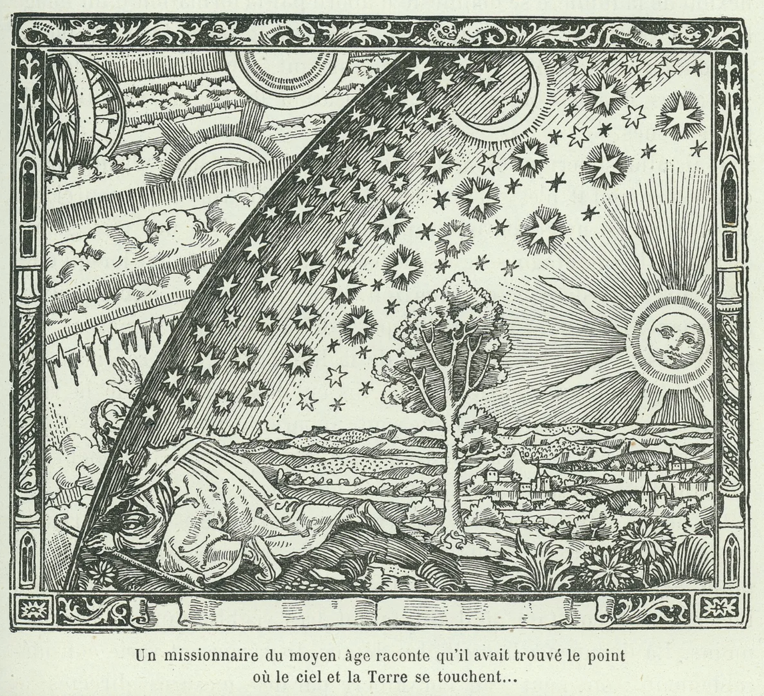
By the period of the Neo-Babylonian Empire, the Babylonian astronomers were making regular records of the positions of the planets and systematic observations of their behavior. For Mars, they knew that the planet made 37 synodic periods, or 42 circuits of the zodiac, every 79 years. They invented arithmetic methods for making minor corrections to the predicted positions of the planets.
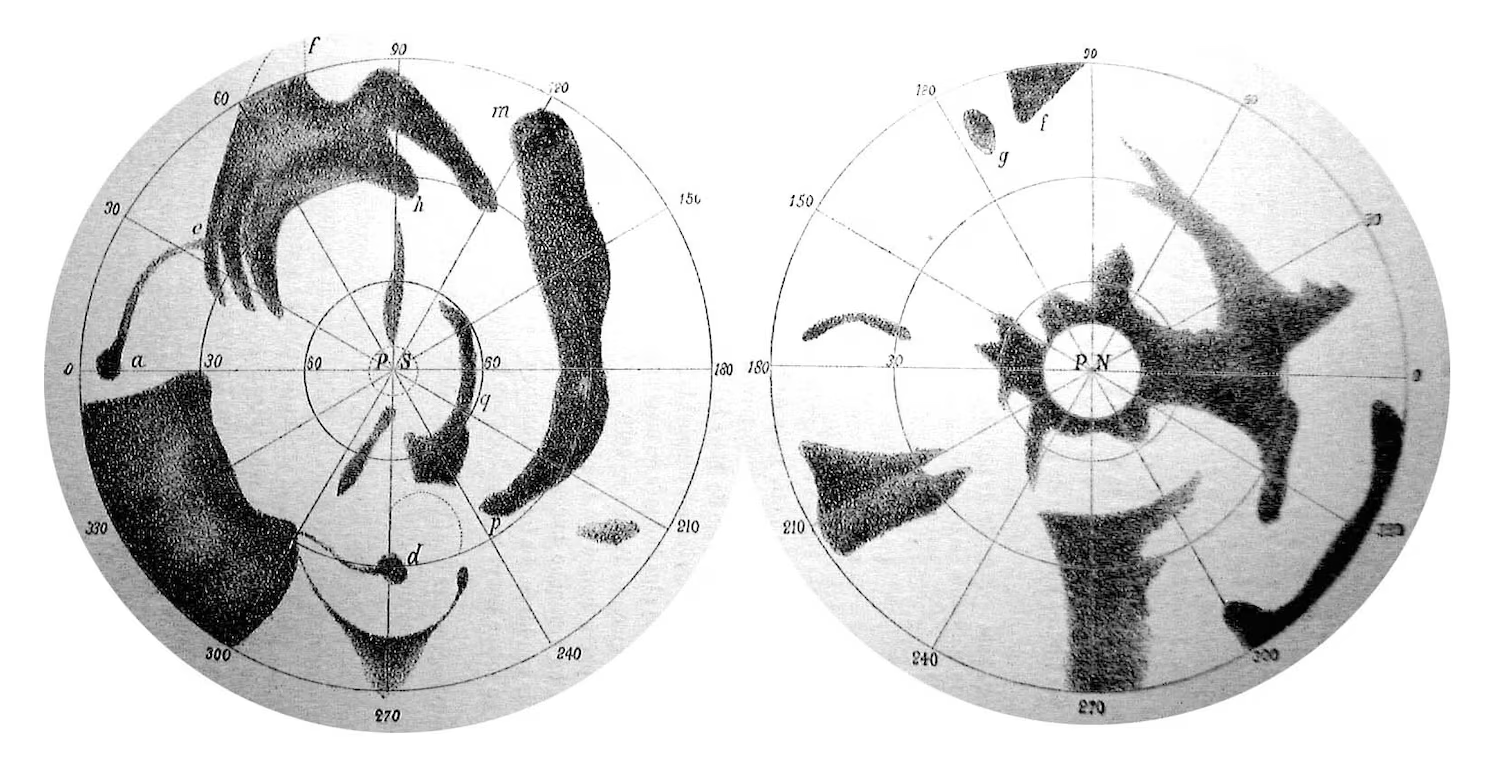
An 1840 map of Mars by the first cartographers of the red planet, German astronomers Johann Mädler and Wilhelm Beer. Solis Lacus, also called the “Eye of Mars” is the small black dot marked “d” on the left – National Geographic
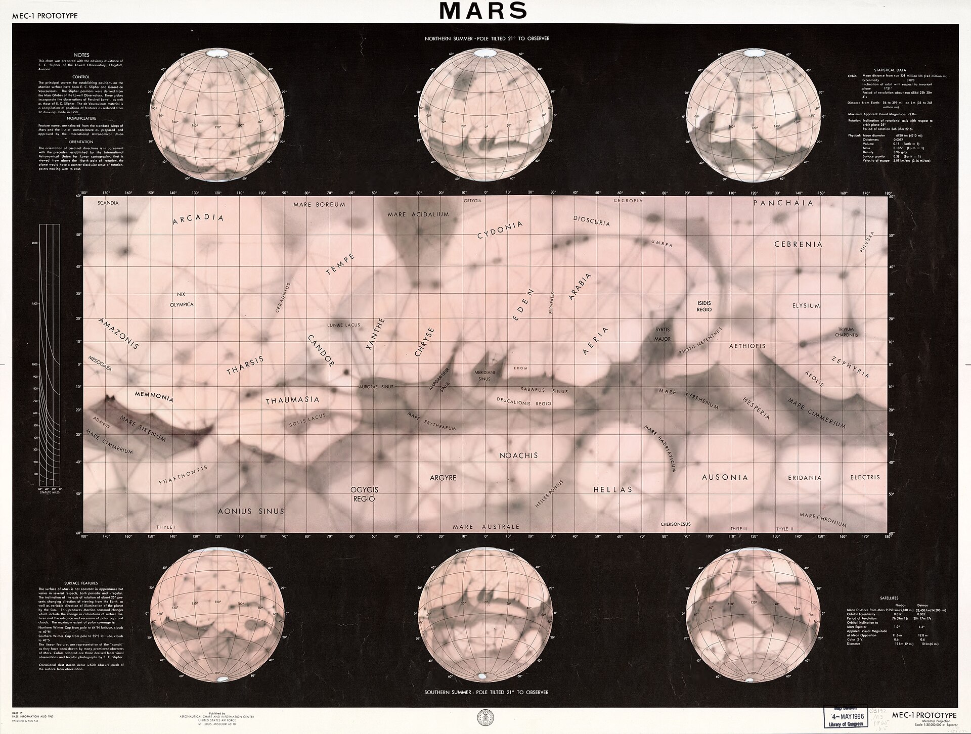
1962 map of Mars published by the U.S. Aeronautical Chart and Information Center, showing canals snaking through the Martian landscape. At the time, the existence of canals was still highly controversial as no close-up pictures of Mars had been taken (until Mariner 4’s flyby in 1965).
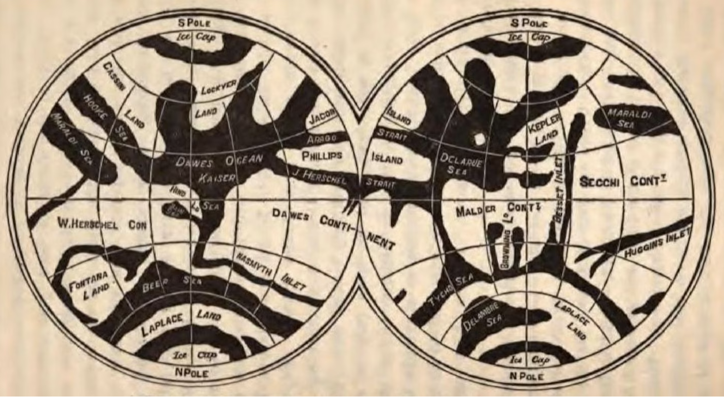
Mapping Mars – Richard Proctor’s first map of Mars based on the 1867 drawings of W.R. Dawes – National Geographic
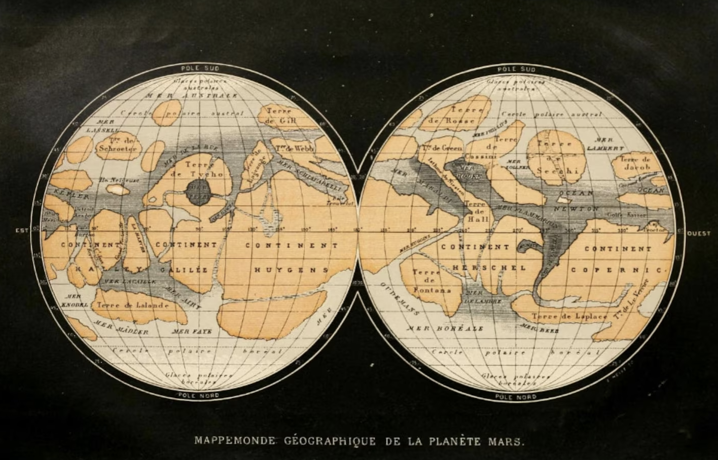
Camille Flammarion’s map of Mars published 1885 – National Geographic
Telescopic Observation and Hand-Painted Globes (19th to Early 20th Century)
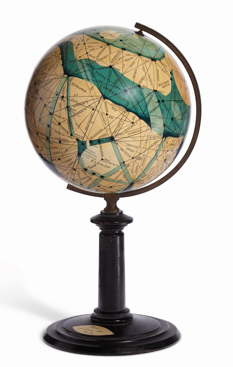 Percival Lowell’s maps famously interpreted linear surface patterns as artificial “canals,” which were hand-painted onto early physical globes.
The Royal Museums Greenwich in London, which owns one of those twelve, offers this brief bio of Brun: “Mars enthusiast and amateur astronomer who made a small number of globes, many for presentation to particular individuals and institutions. Her inscriptions suggest that she viewed Mars as a potential socialist religious Utopia.”
Indeed it seems Brun was a Red Planet admirer, and she had also fallen under the spell of American businessman and pop sci prophet Percival Lowell (1855-1916). Building on the works of an Italian astronomer, Lowell became convinced that he had discovered an extensive canal system on Mars, which, in turn, proved (to him) the existence of an ancient Martian civilisation. Lowell spent many years at his observatory in Flagstaff, Arizona, drawing the wrong conclusions about what he was seeing through the telescope. He published three books on the subject: Mars (1895), Mars and its Canals (1906), and Mars as the Abode of Life (1908). Powell’s discredited cartography fueled mid-twentieth-century science fiction novels like Heinlein’s Red Planet and Bradbury’s Martian Chronicles.
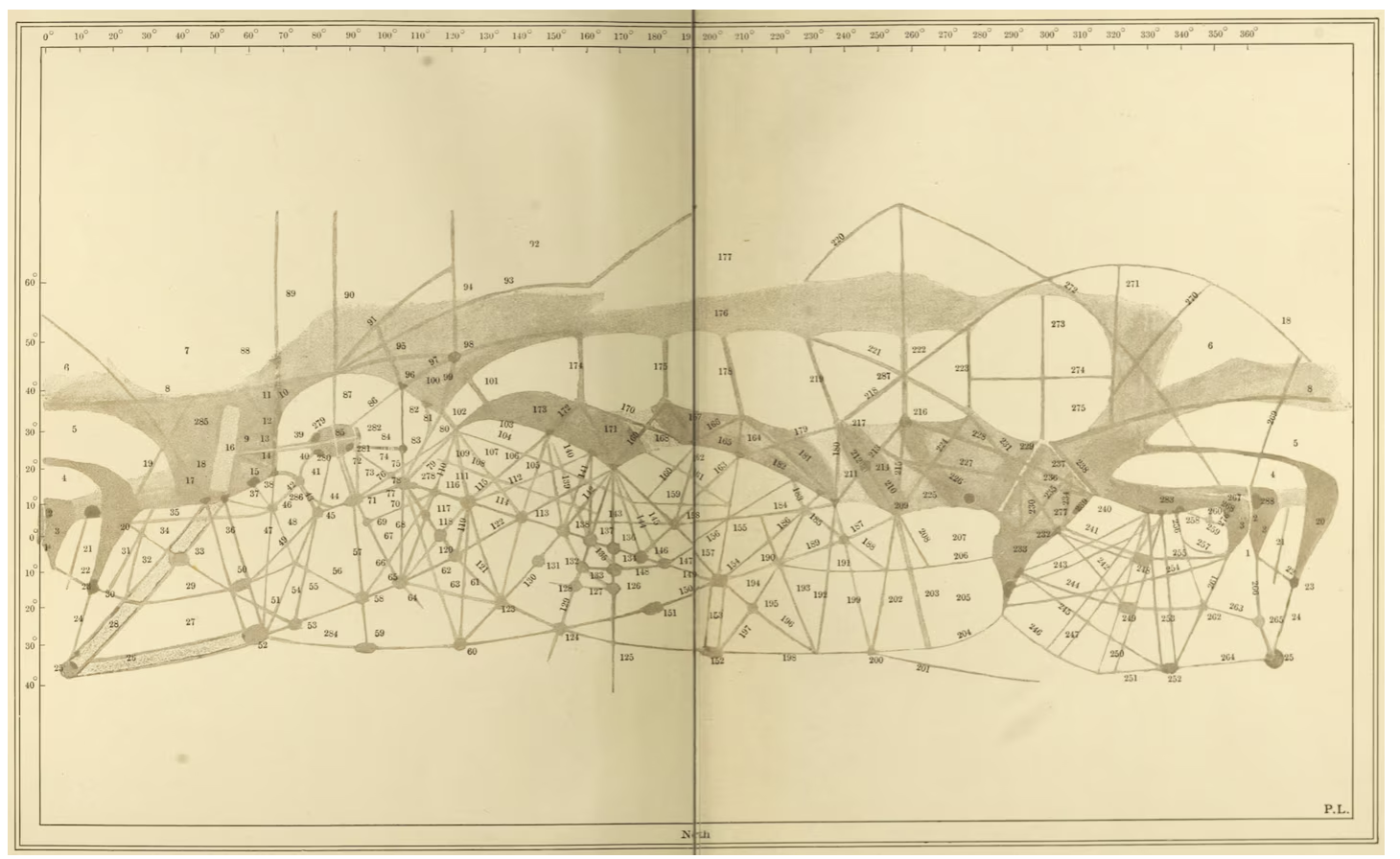
One of Percival Lowell’s maps of Mars with 184 canals marked – published in “Mars” 1895 – National Geographic
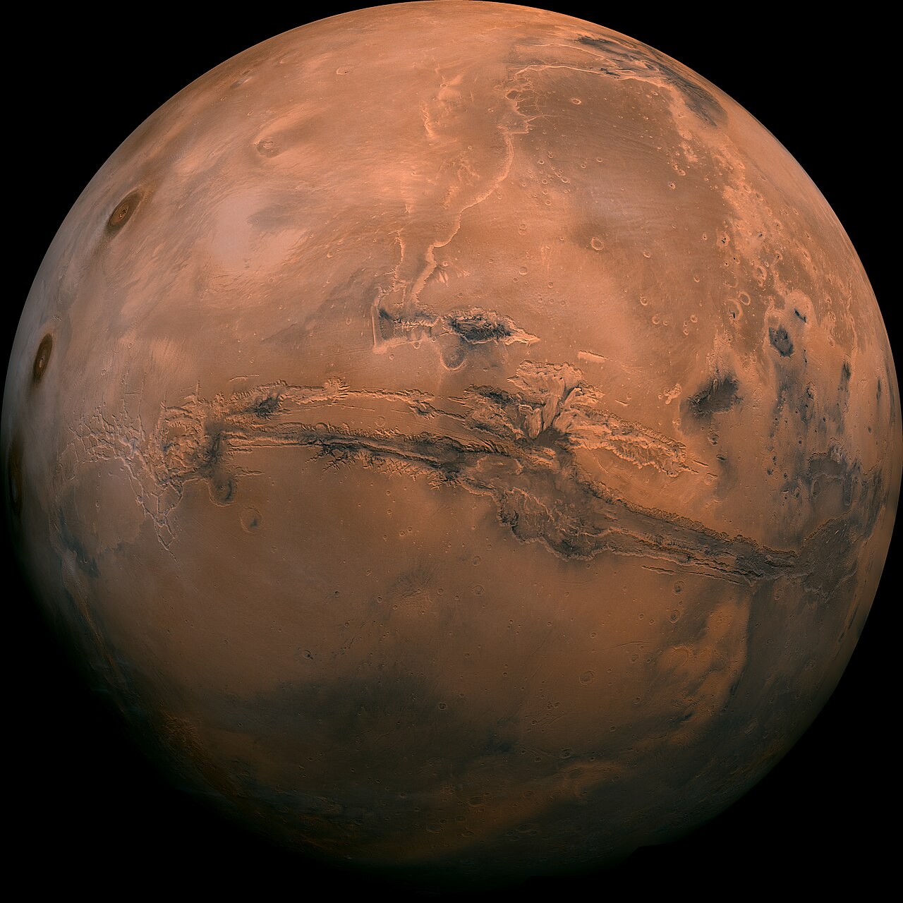
Valles Marineris, taken by the Viking 1 probe
Because spacecraft imagery was incomplete or black-and-white, cartographers like those guided by Gerard de Vaucouleurs used airbrushes and pencils to blend telescopic data with early probe photos to bridge gaps on globe gores.
Digital Mapping and Laser Altimetry (1990s–Present)
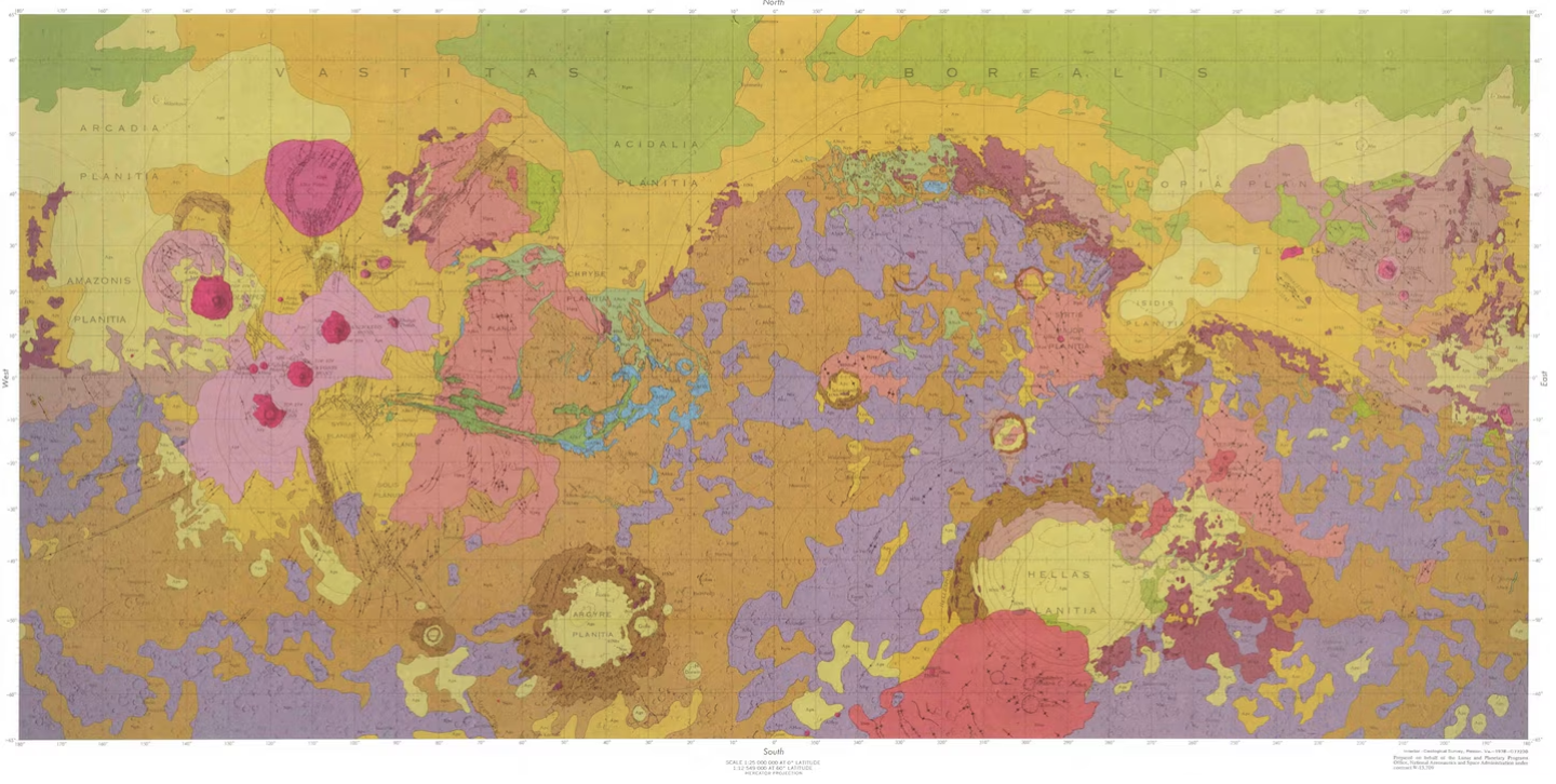
The first geologic map of Mars using data from the Mariner 9 mission – 1978. It was the first geologic map of any planetary surface beyond Earth and the moon – Mapping by USGS
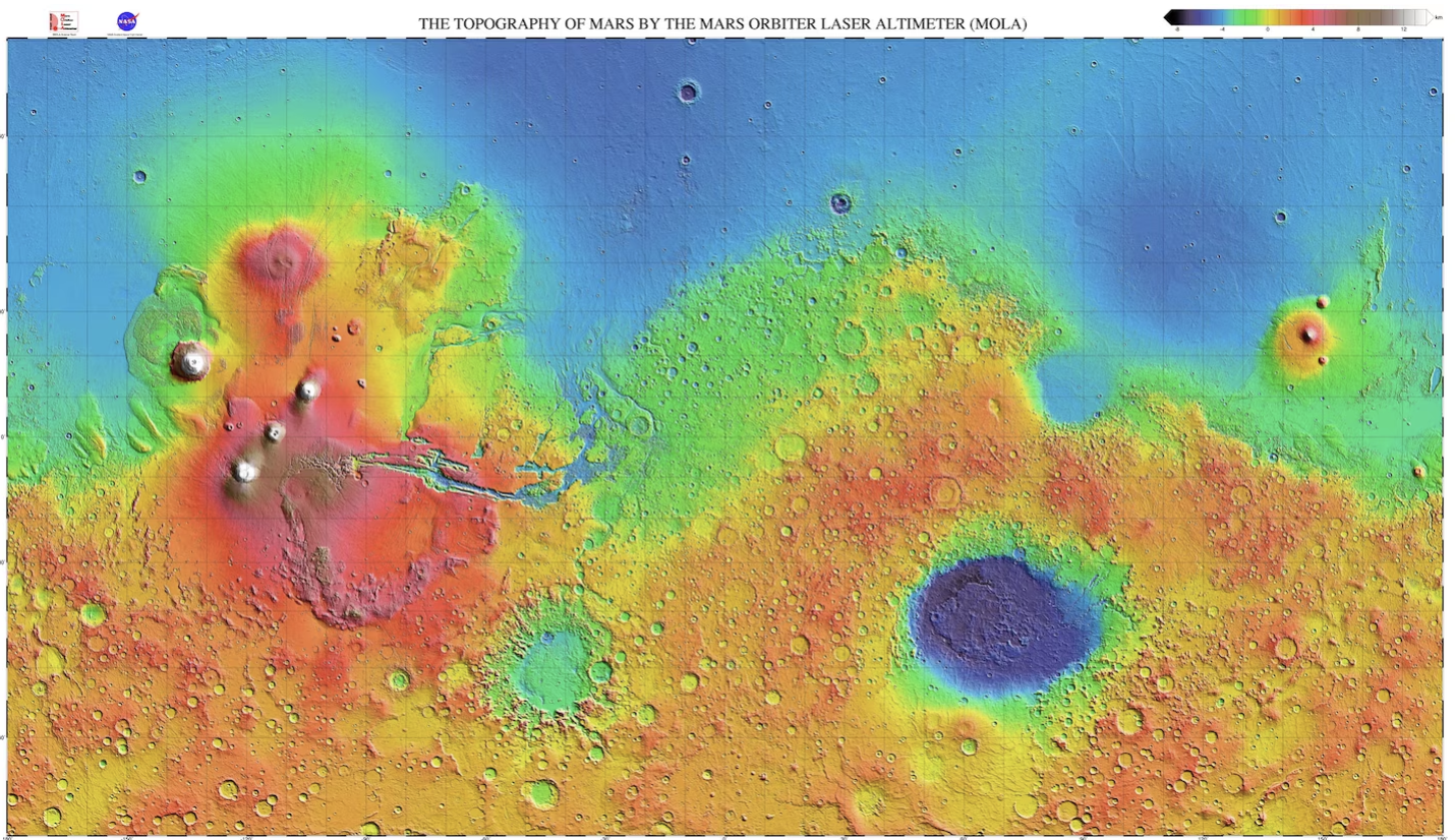
Shaded relief map of Mars created with data from the Mars Global Surveyor’s laser altimeter (MOLA) collected between 1997 and 2001. During that time, the spacecraft measured 671,121,600 laser pulses.
Map by NASA
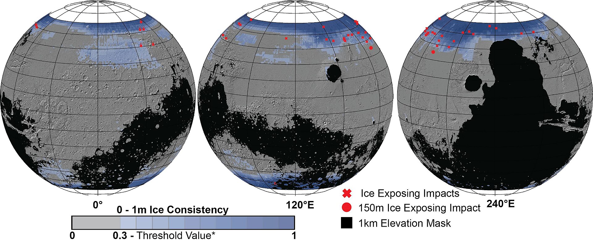
Mapping Mars.
Mars contains water, though mostly as dust covered polar layers of ice.
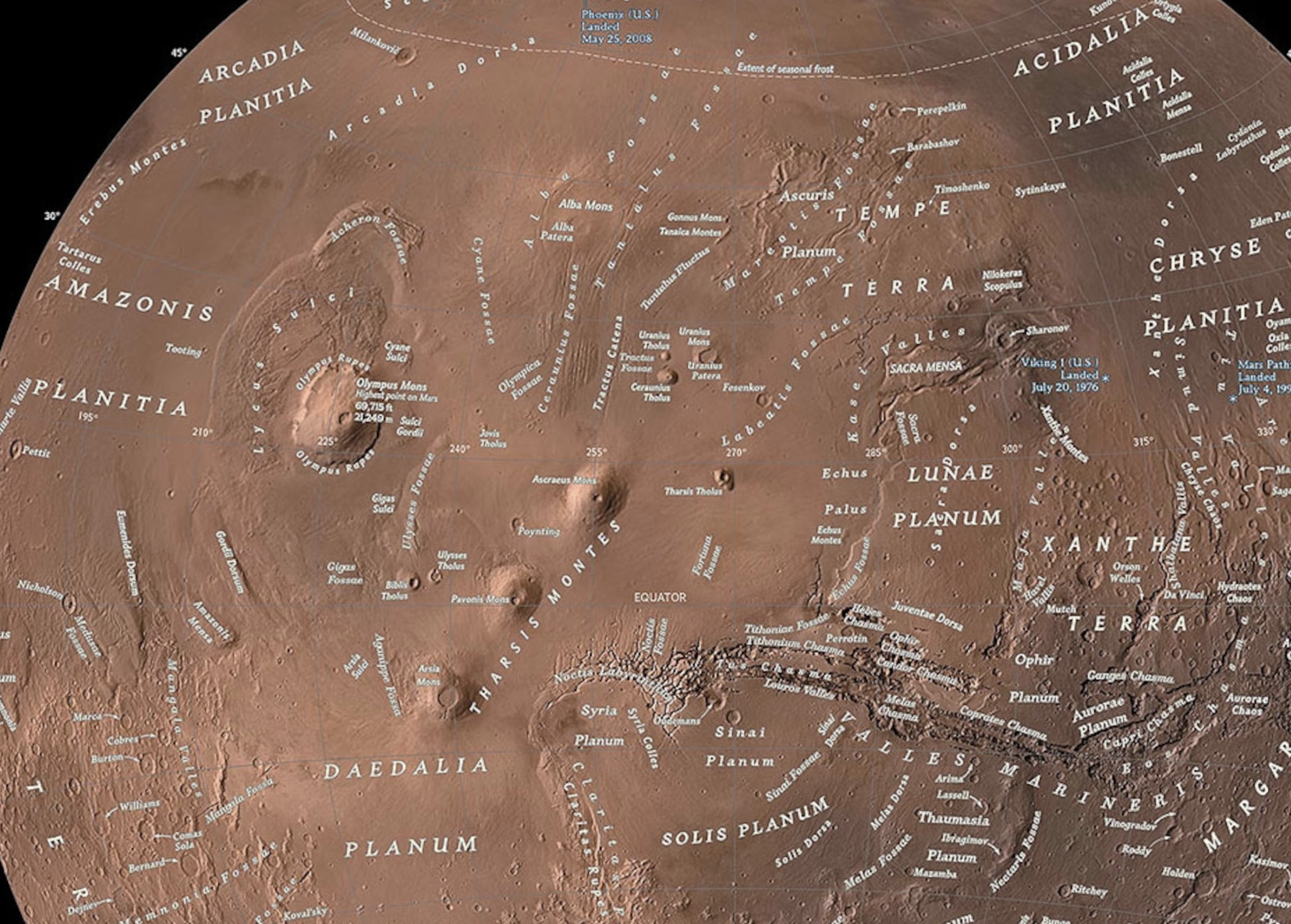
In 2016, National Geographic released this map of Mars, the latest in a centuries-long evolution of our understanding of the planet.
Explore an interactive version of this map ^^ here via National Geographic.
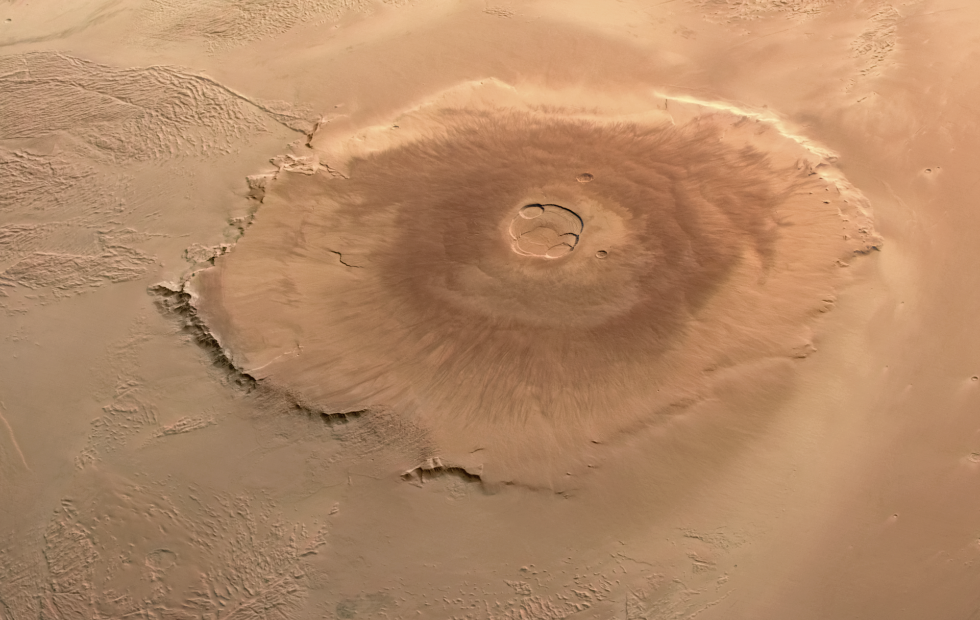
Olympus Mons – the tallest volcano on Mars – approx 550 km (340 mi) across.

The Bellerby & Co Globemakers Mars Globe – 2026 – photographed by Claudio Moschin