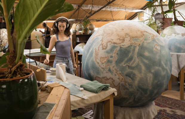
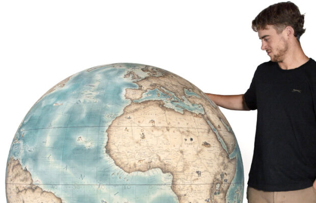
We do enjoyed this commission which was designed and painted in homage to the Erdapfel. This globe is 50cm diameter.
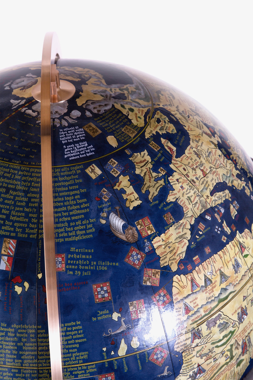
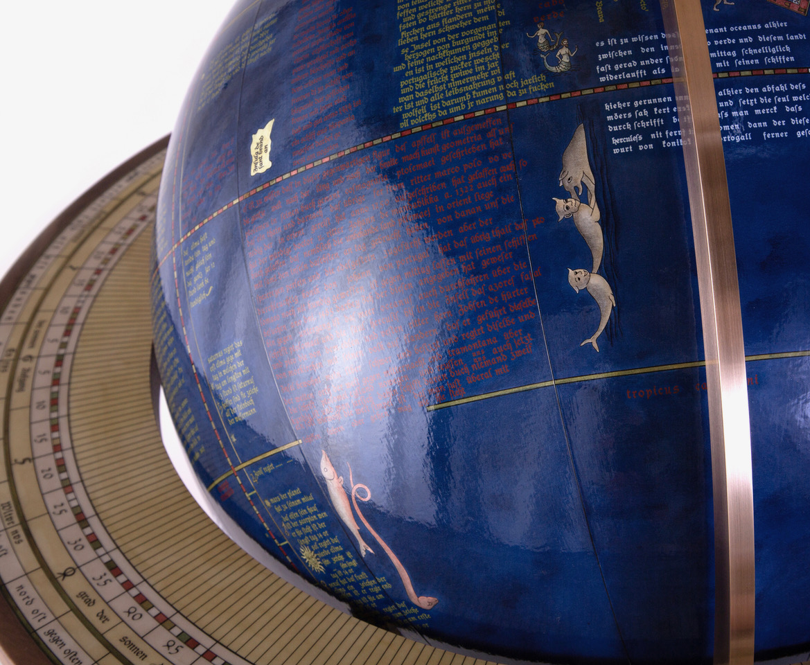
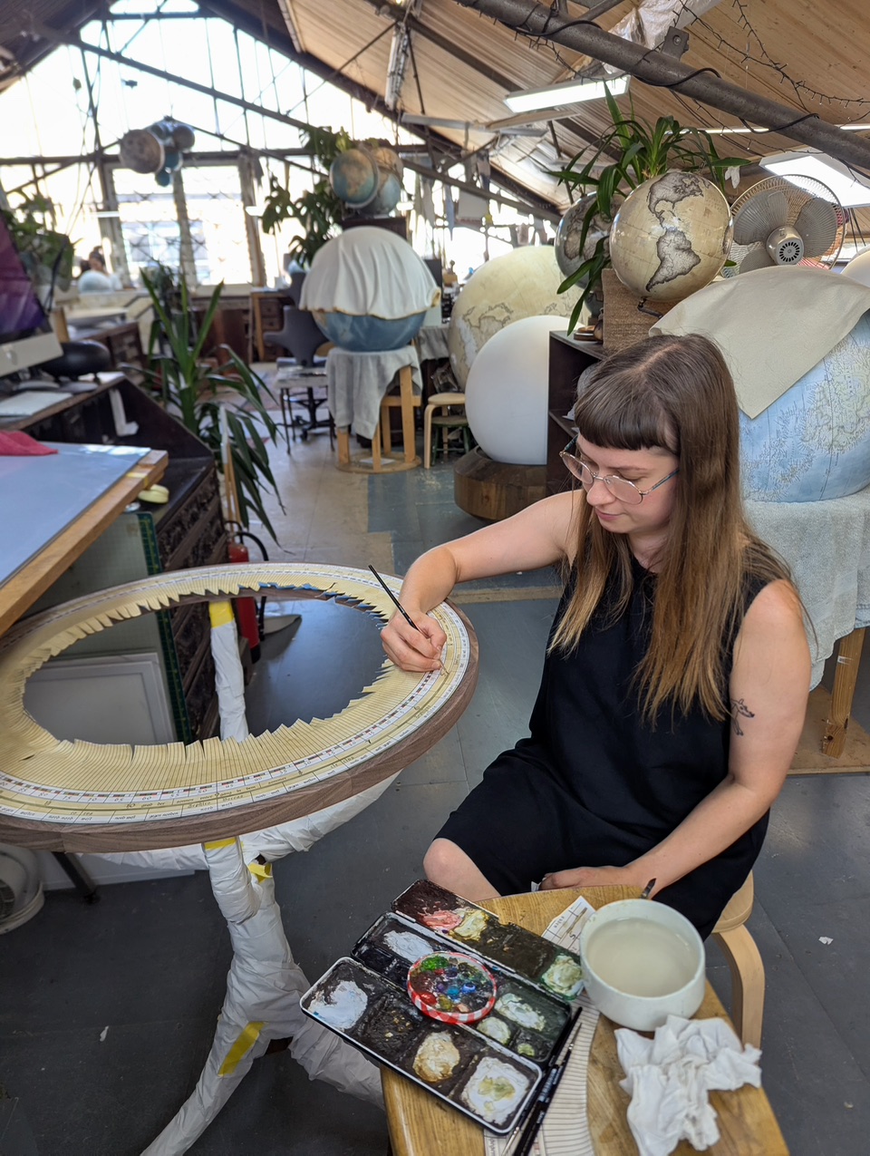
For this project we re-created the map gore by gore using the documented artwork as reference. We then adapted the text as the client requested it be legible vs missing in sections as per the original existing antique globe. The base is of our own design with incorporated detail from the original engravings.

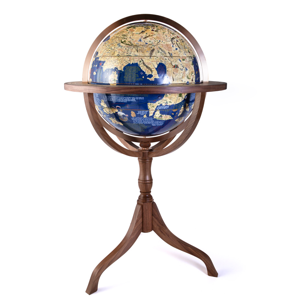
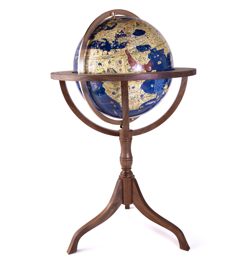
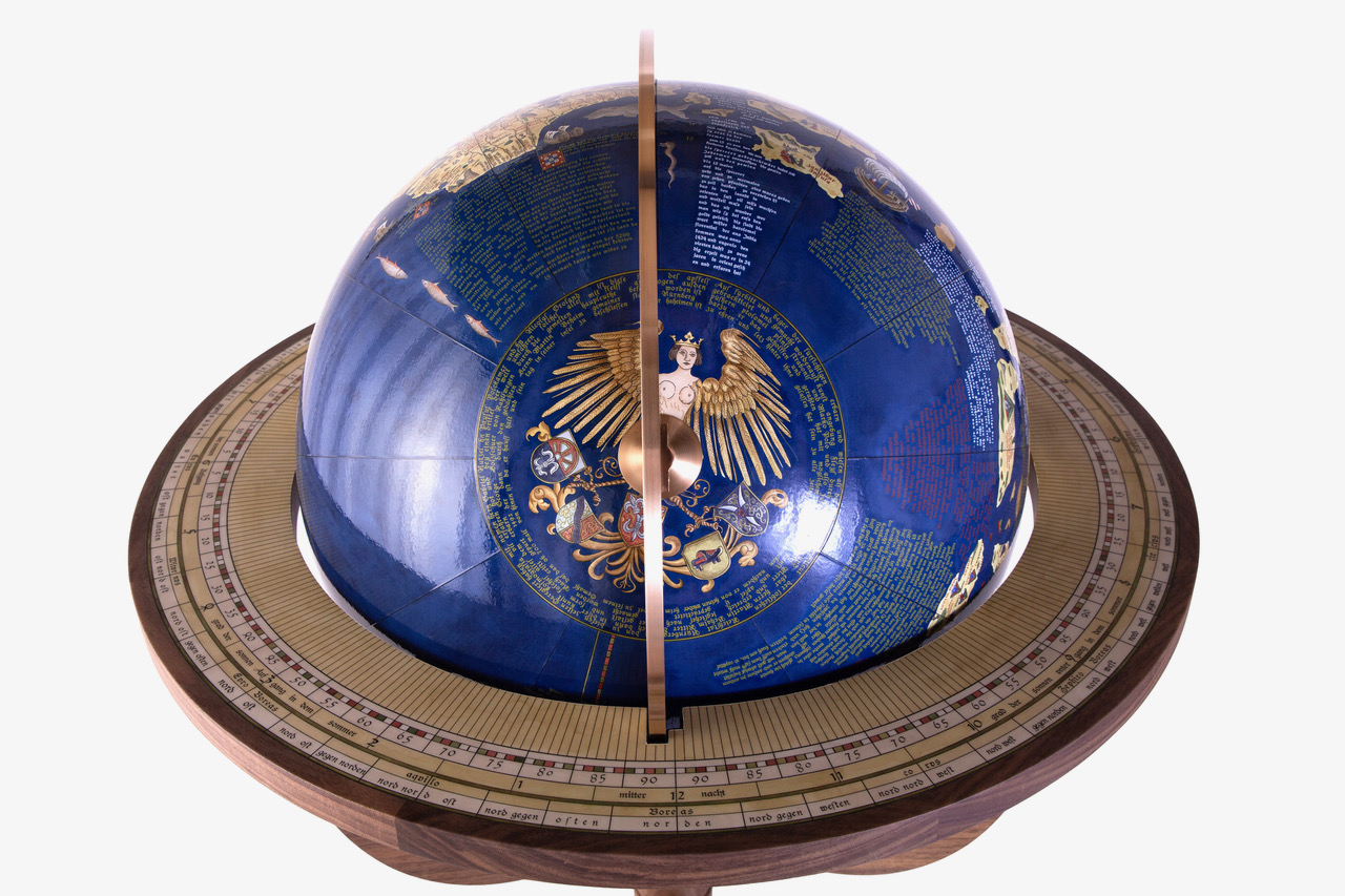
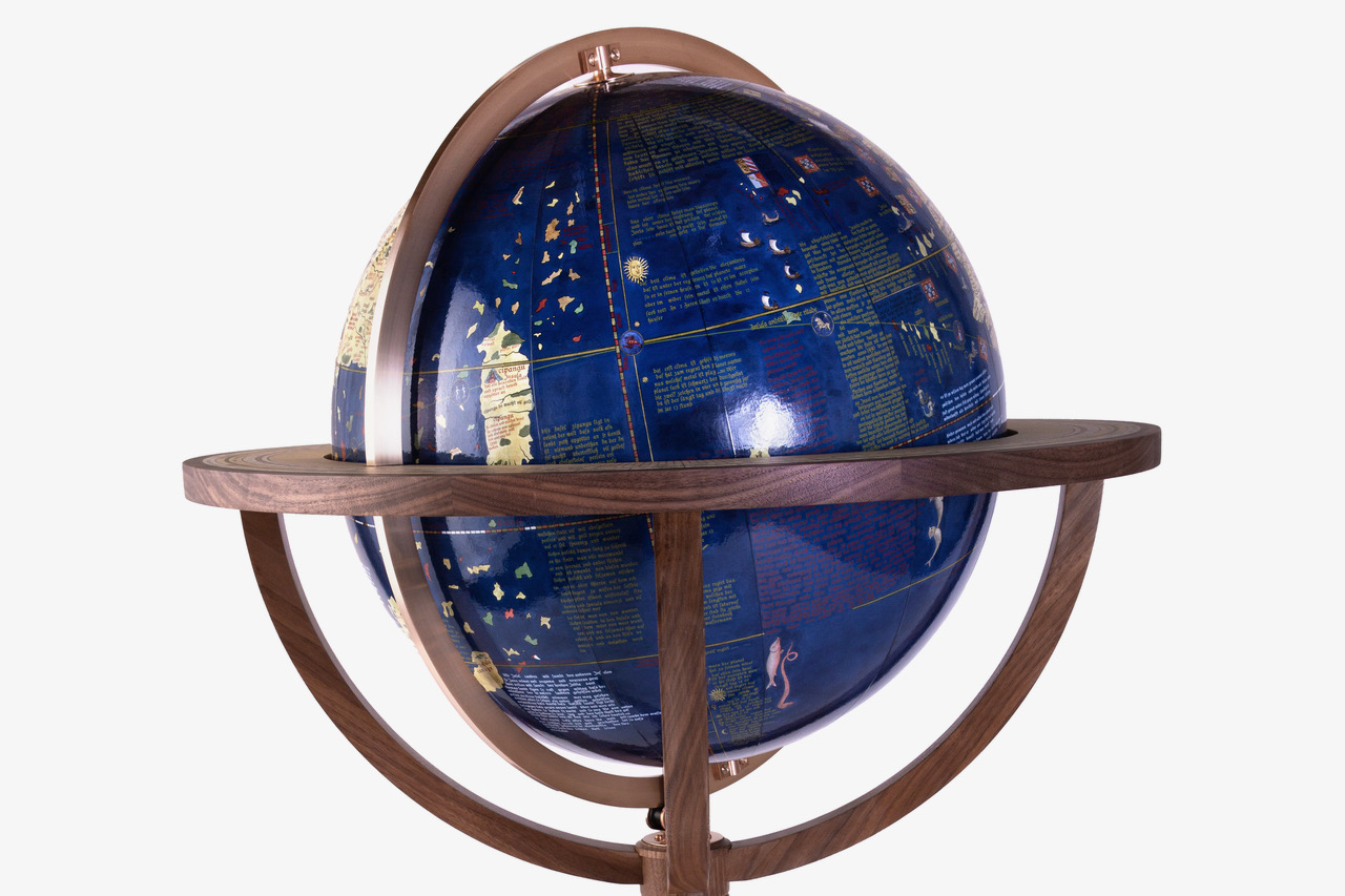
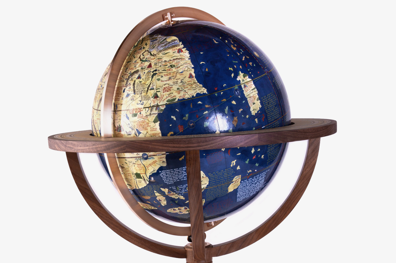
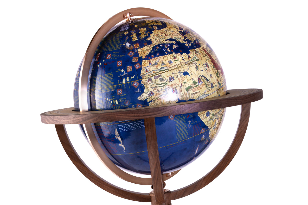

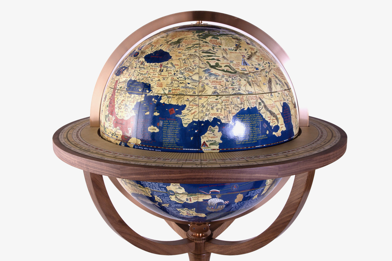

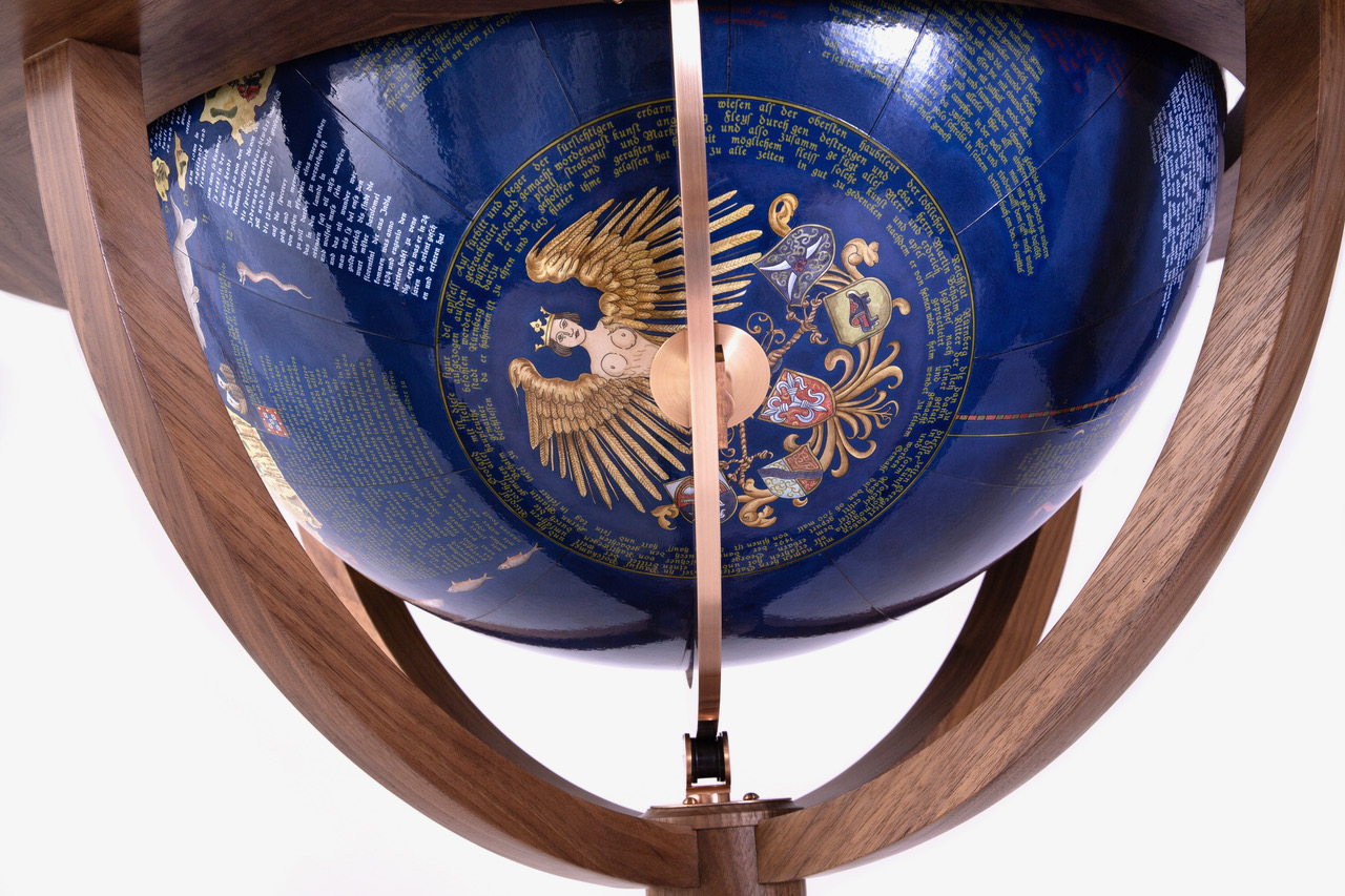
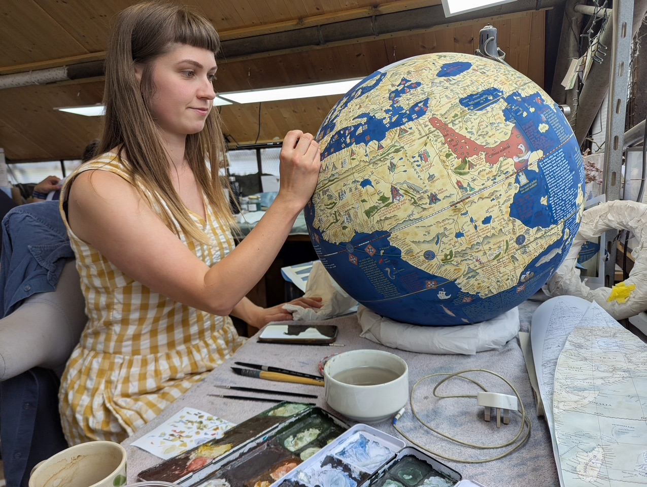
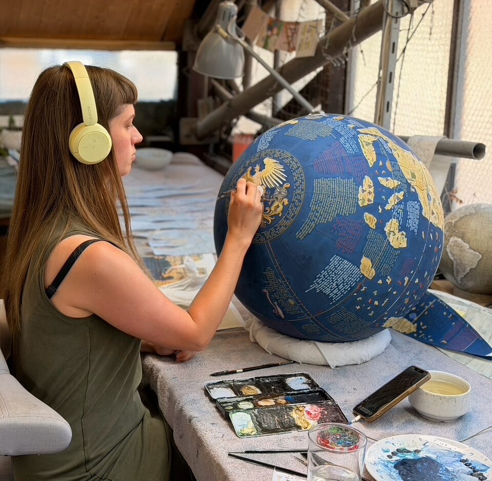
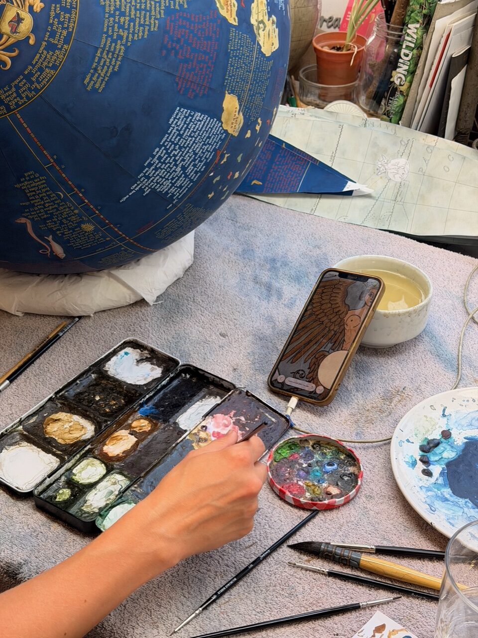
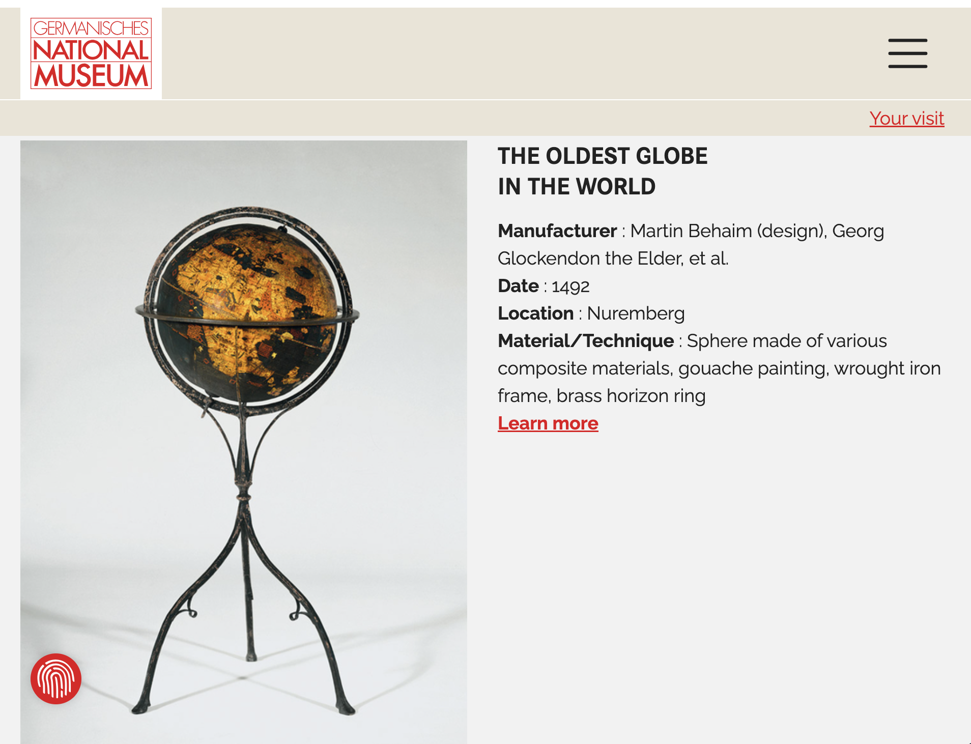
The Erdapfel, meaning “Earth Apple” in German, holds a special place in cartographic history as the first known terrestrial globe. This artifact was created in 1492 by the German cartographer Martin Behaim in Nuremberg. It marks a pivotal moment in humanity’s understanding of geography. It also transformed the representation of the Earth. The globe is a fascinating product of its time. It reflects the interplay of medieval worldviews. It also showcases Renaissance advances in navigation and cartography.
The late 15th century was a transformative period in European history. The era experienced a convergence of technological innovation. Expanding trade networks also played a crucial role. Additionally, there was a revived interest in classical knowledge. These factors fuelled the Age of Exploration. By the time the Erdapfel was constructed, significant advancements had been made in navigation. Mariners developed the magnetic compass and the astrolabe. Improvements in ship design also took place. These advancements allowed mariners to embark on more ambitious voyages.
Martin Behaim, the creator of the Erdapfel, was a merchant and geographer. Behaim’s contributions to navigation and exploration are modest compared to figures like Christopher Columbus. Yet, he was part of a larger intellectual movement. This movement sought to compile and refine geographical knowledge. Having traveled extensively, including time in Portugal—a hub for maritime innovation—Behaim had access to the latest navigational charts and texts. His globe reflects the collective geographical understanding of his time. It was heavily influenced by sources like Ptolemy’s Geographia. Medieval maps and the accounts of travellers like Marco Polo also played a role.
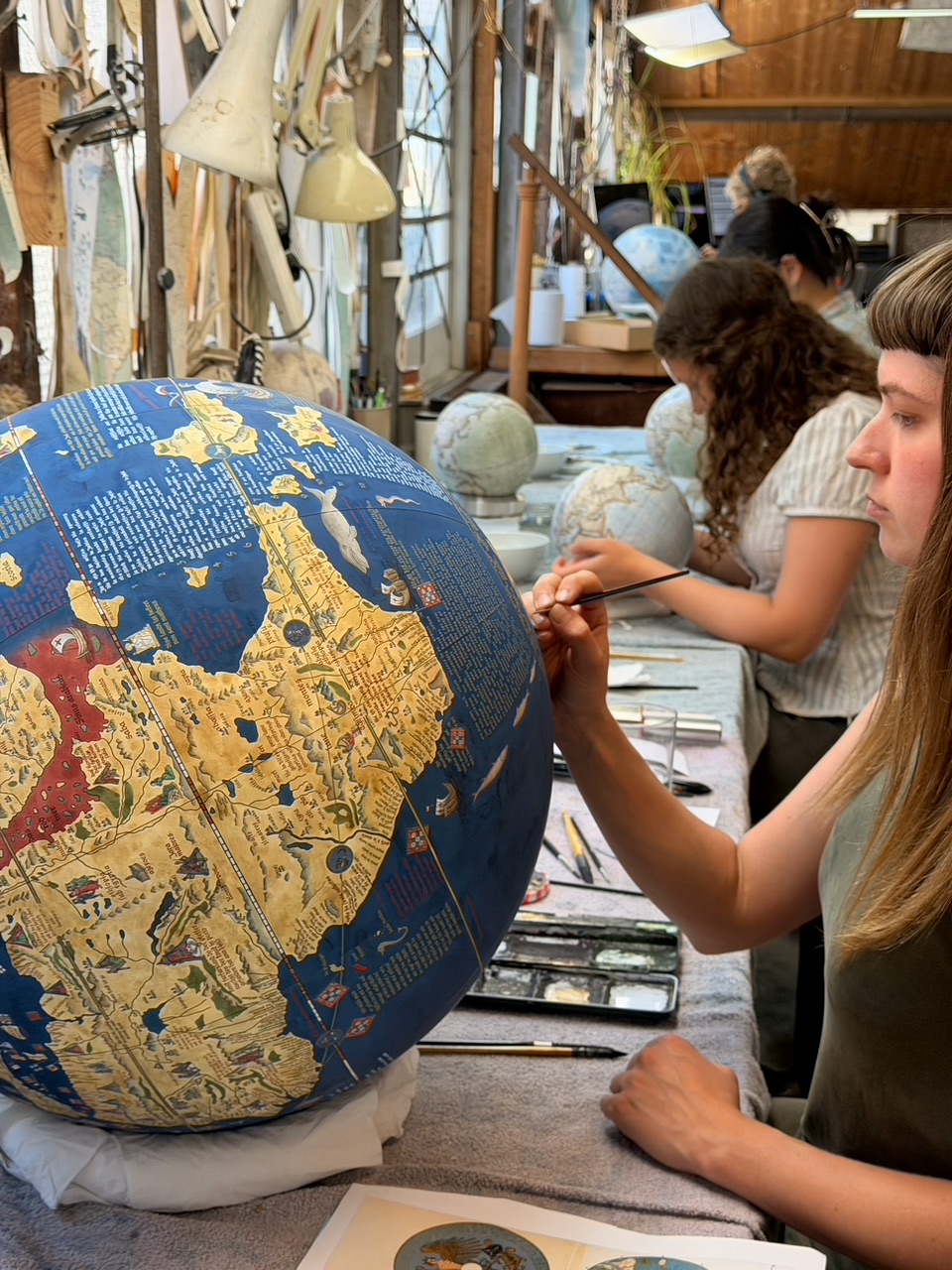
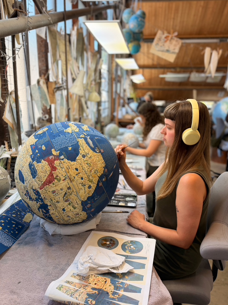
Constructed in 1492, the Erdapfel was made from a papier-mâché core covered with parchment and mounted on a wooden frame. Its surface is painted and inscribed with geographical information, including continents, oceans, and place names. The globe measures approximately 50 centimetres in diameter. It is relatively small yet detailed. It showcases the known world as it was understood in late medieval Europe.
The Erdapfel’s depiction of the world reflects a mix of classical and medieval ideas. It has notable absences and inaccuracies by modern standards. The globe includes Europe, Asia, and Africa, surrounded by a single, continuous ocean. The Americas are conspicuously absent. Columbus had begun to explore them in 1492. This highlights the globe’s creation just before the European awareness of the New World. This omission underscores the rapid pace at which geographical knowledge was evolving during this period.
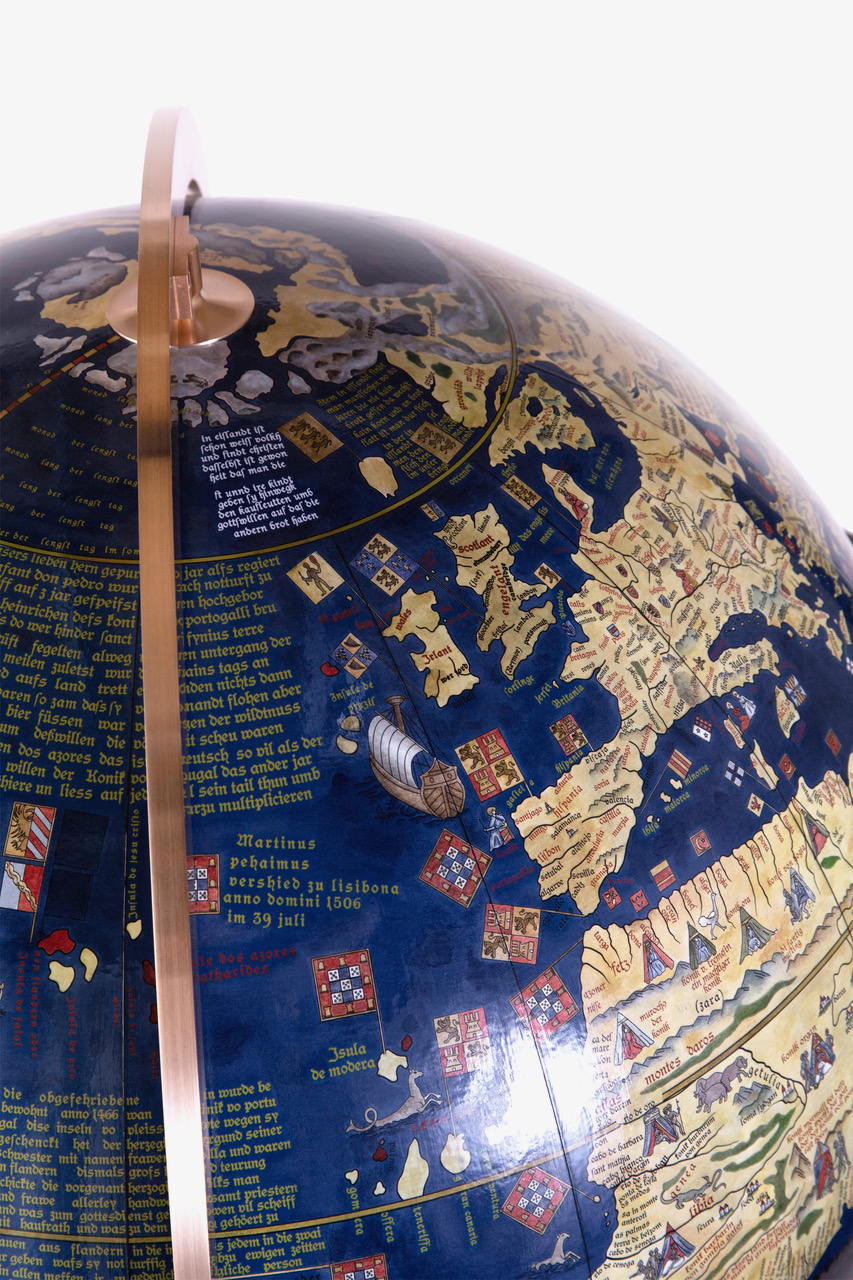
Africa is portrayed with an incomplete and distorted shape, reflecting the limited knowledge of its interior. Asia is heavily influenced by Marco Polo’s descriptions. It seems disproportionately large and is adorned with speculative features like mythical islands and cities. Europe, by contrast, is relatively precise, reflecting the region’s advanced cartographic traditions.
The Erdapfel is not only a geographical artifact but also a work of art. Its inscriptions and illustrations are richly detailed, featuring decorative elements like ships, flags, and mythical sea creatures. These embellishments show the globe’s dual purpose. It serves as a practical tool for understanding geography. It also acts as a symbolic representation of human knowledge and power.
The globe also carries religious and cultural significance. Its creators imbued it with a Eurocentric perspective, positioning Europe at the center of the known world. This placement reflects the prevailing worldview of the time, which often conflated geographical knowledge with religious and political ideologies.
 While the Erdapfel shows a remarkable achievement, it is also a product of its limitations. The absence of the Americas exposes gaps in 15th-century geographical knowledge. Inaccuracies in the portrayal of Africa and Asia also highlight these gaps. These errors stem from the reliance on outdated sources and the lack of systematic exploration of certain regions.
The globe’s inability to incorporate emerging discoveries also highlights a significant challenge. It is difficult to keep cartographic tools up to date in an era of rapid change. By the time the Erdapfel was completed, Columbus had already embarked on his journey across the Atlantic. His voyage would soon reshape European conceptions of the world.
Another significant limitation is the Erdapfel’s usability as a navigational aid. Unlike flat maps, sailors did not carry the globe’s three-dimensional form on ships. They also did not use it to plot courses. This made it impractical for maritime navigation. Its primary role was educational and symbolic. It served as a testament to the accumulated knowledge of its creators. It was not a tool for practical exploration.
Despite its limitations, the Erdapfel is a milestone in the history of cartography. It is the first try to create a three-dimensional representation of the Earth. This effort moves beyond the flat, often symbolic maps of the medieval period. This transition reflects a broader intellectual shift toward empiricism and the use of scientific principles in understanding the natural world.
The globe also exemplifies the interconnectedness of knowledge during the Renaissance. The exchange of ideas and information across cultures made its creation possible. This exchange included contributions from the classical texts of ancient Greece and Rome. It also included the navigational innovations of the Islamic world. Additionally, there were geographical reports from European explorers.
The Erdapfel set a precedent for the production of terrestrial globes, which became increasingly sophisticated in the centuries that followed. By the 16th century, globes had become essential tools for education, exploration, and diplomacy. They were used to teach geography, plan voyages, and assert political and cultural dominance.
The incorporation of the Americas was one of the most significant developments in globe-making. This process began with the works of cartographers like Martin Waldseemüller. These later globes corrected many of the inaccuracies of the Erdapfel and reflected the expanding horizons of European exploration.
Today, the Erdapfel is preserved in the German National Museum in Nuremberg. It continues to fascinate historians, cartographers, and the general public. Its survival is a testament to the craftsmanship of its creators and its enduring significance as a historical artifact.
The globe also serves as a reminder of the evolving nature of knowledge. It captures a moment in time. Humanity’s understanding of the world was incomplete yet ambitious then. People were driven by a wish to explore and comprehend the unknown. In this sense, the Erdapfel symbolises both the achievements and limitations of human curiosity.
Today, the Erdapfel is preserved in the German National Museum in Nuremberg. It continues to fascinate historians, cartographers, and the general public. Its survival is a testament to the craftsmanship of its creators and its enduring significance as a historical artifact.
The globe also serves as a reminder of the evolving nature of knowledge. It captures a moment in time. Humanity’s understanding of the world was incomplete yet ambitious then. People were driven by a wish to explore and comprehend the unknown. In this sense, the Erdapfel symbolizes both the achievements and limitations of human curiosity.
The Erdapfel globe is a remarkable artifact that encapsulates the spirit of its time. It is the first known terrestrial globe. And shows a significant step forward in the visualization of the Earth. It combines art, science, and cultural symbolism. Its inaccuracies and omissions, far from detracting from its value, highlight the dynamic and iterative process of knowledge production. By examining the Erdapfel, we gain insight into the historical context of its creation. We also learn about the evolution of cartographic techniques. Additionally, it reflects the enduring human quest to map and understand the world.
–
History and analysis via LOUIS APOLON from thecartographicinstitute.com
–
From its creation until early in the 16th century, it stood in a reception room in the Nuremberg town hall. After that time, it was held by the Behaim family. In 1907, it was transferred to the Germanic Museum in Nuremberg where it is currently on display. In 1992, it was moved for some time to the Vienna University of Technology, to be studied at high resolution by the Behaim Digital Globe Project.
In 2011, a second digitalisation by the German National Museum began. Thank you to the GERMANISCHES NATIONALMUSEUM who have the Behaim Globe and shared their research.
Learn more about the original globe and discover the map in detail >>>>
Terrestrial globes are known to have been made from antiquity, such as The Globe of Crates. None are known to have survived, even as fragments. A celestial globe, part of the Farnese Atlas, has survived from the second century AD.
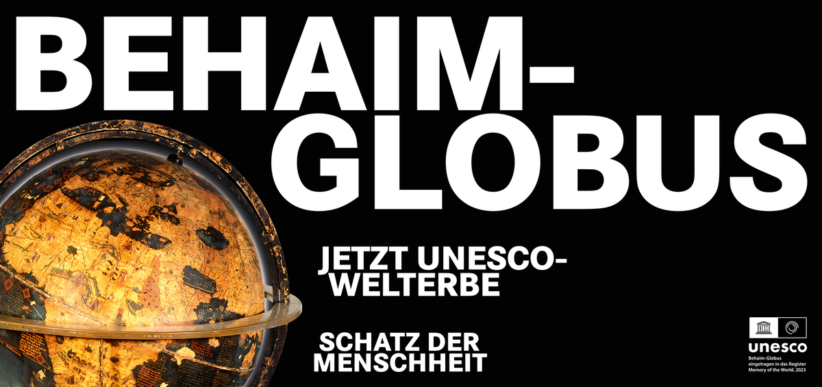
In 2023, Erdapfel was admitted to UNESCO’s Memory of the World.
Facts via Wikipedia.
German National Museum : “The Behaim Globe tells a story of globalisation that is both illuminating and somber, marking two crucial turning points in the European view of the world. When it was created in 1492, no one in Europe was yet aware of the existence of the American continent. In October 1492, Christopher Columbus landed in the Bahamas, which, according to European understanding, marked the beginning of modern globalisation. The absence of America on the Behaim Globe signifies this fundamental shift in the world’s understanding at the time. For a long time, it represented the success story of European “discoveries” based on science and technology.
Today, against the backdrop of a critical new perspective on colonialism and globalisation, the Behaim Globe tells a different story and once again marks a turning point in the relationship between Europe and the world. The Behaim Globe is now a key document of European world conquest and the Atlantic slave trade. In the 15th century, in the search for India, Africa was not only to be circumnavigated but also economically exploited. The globe makes clear the extent to which the emergence of our modern world was based on the violent appropriation of raw materials, the slave trade, and plantation agriculture. The Behaim Globe depicts the first stage of European subjugation and the division of the world.
Today, the Behaim Globe is also a document of our ambivalent European cultural heritage . Looking back reveals not only splendour but also dark shadows and open wounds. Thus, the globe is intended not only to commemorate European conquests but also to serve as a memorial to the African slaves who played a vital role in the creation of our modern world.
Bellerby & Co Globemakers
Traditional Globemakers, London, England.
Handcrafted and hand painted world globes and maps made bespoke to order, customised and personalised, and quick delivery options.
We undertake bespoke commissions of all kinds. Each globe is one-of-a-kind.